The story
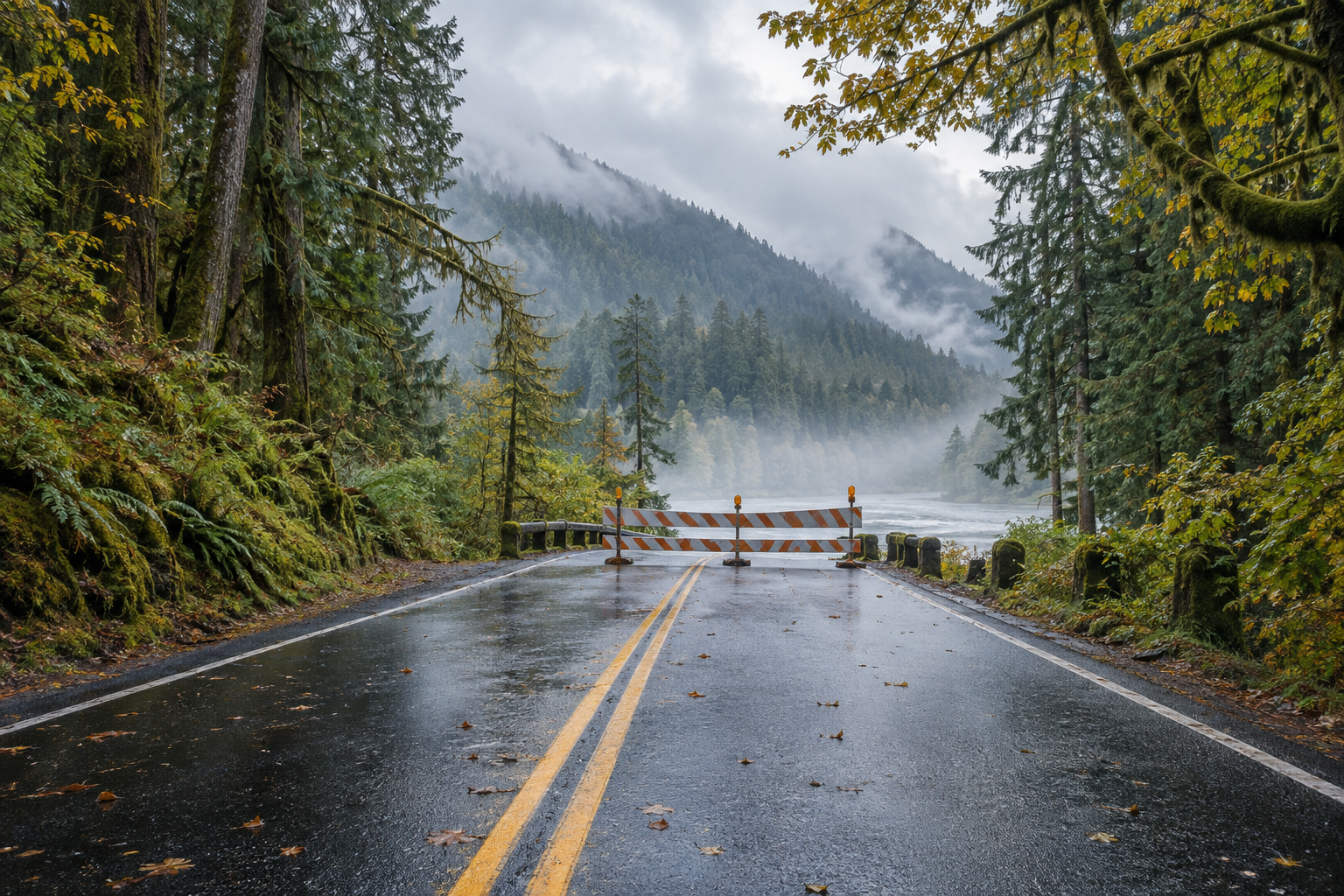
US 101 will close at the Hoh River for three multi-day work windows. Hoh Rain Forest remains reachable from Forks, but crossing between the peninsula's north and south sides may require a long eastern detour.
Last verified: 22 September 2026 · Reality Check · United States
The practical answer is no, travelers cannot rely on completing the usual US 101 loop during the full closures. The Hoh River Bridge south of Forks is scheduled to close to all public traffic from 5 a.m. Thursday 24 September to 5 p.m. Tuesday 29 September, from 5 a.m. Thursday 1 October to noon Tuesday 6 October, and from 5 a.m. Thursday 8 October to noon Tuesday 13 October.
That does not mean Olympic National Park is closed. It means the direct highway connection between destinations north and south of the bridge is unavailable during those windows. A trip based entirely on one side may still work; a trip that crosses the bridge needs a different structure.
What is actually closing?
Washington State Department of Transportation says inspectors found cracks in a support beam and steel members beneath the 95-year-old bridge. Traffic has used one alternating lane since July. During the three repair windows, the bridge is too narrow to keep a public traffic lane beside the work zone, so the crossing will close completely.
There is no local public road detour across the Hoh River. WSDOT directs through travelers around the east side of the peninsula via the Hood Canal corridor and onward toward Aberdeen. The National Park Service says this can add at least four hours, but that is a planning floor rather than a promise for every origin, destination or traffic condition.
After each work window, WSDOT plans to inspect the bridge before restoring alternating single-lane traffic. Treat the listed reopening times as schedules, not guarantees: check the current WSDOT alert before committing to a crossing day.
Which destinations remain reachable?
From the north, travelers can still reach Port Angeles, Lake Crescent, Sol Duc, Forks and the Hoh Rain Forest. NPS specifically says the Hoh Rain Forest remains accessible from Forks throughout construction. From the south, Kalaloch, Queets, Quinault, Amanda Park, Ocean Shores and Aberdeen remain on the other side of the closure.
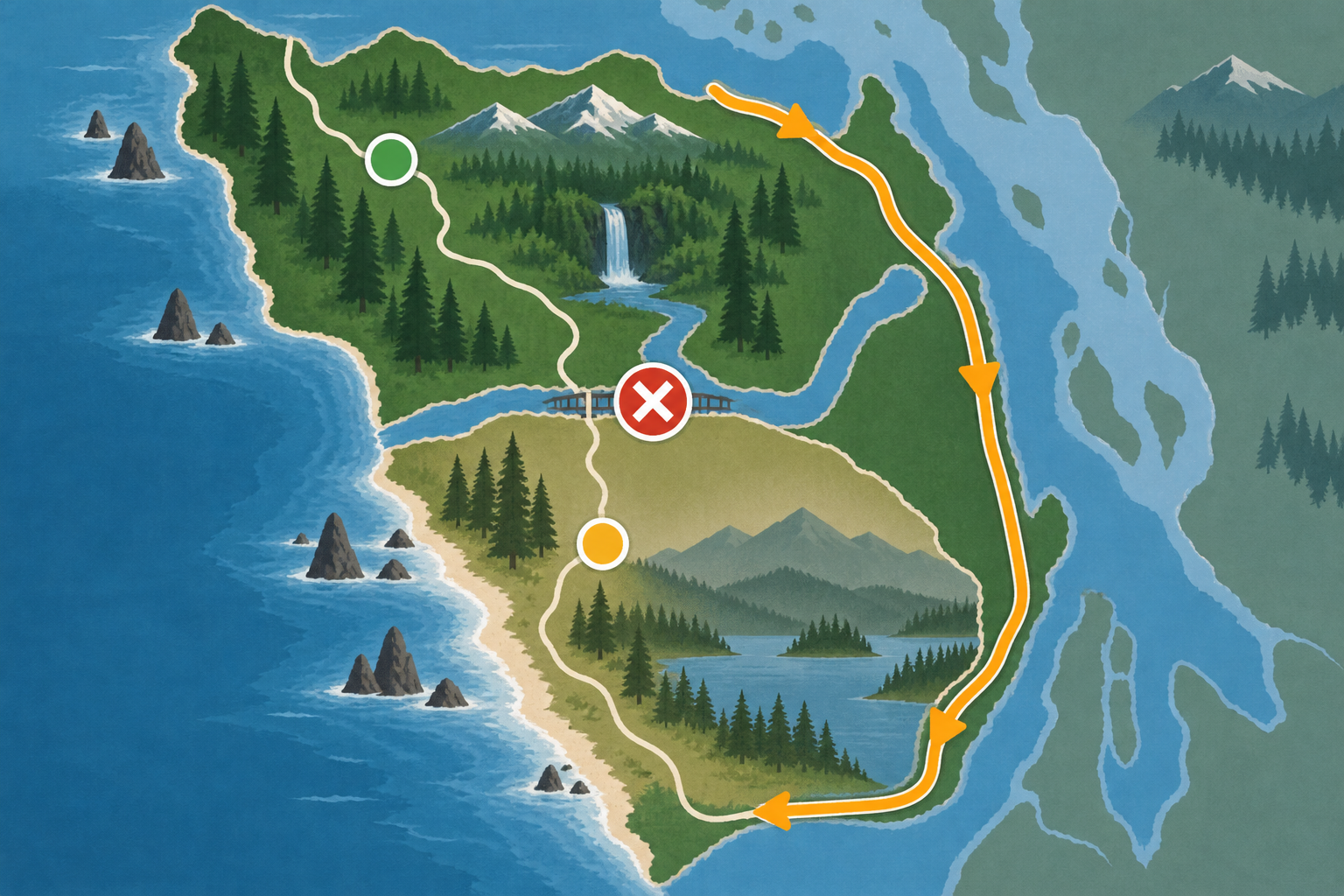
The diagram explains the access split, not turn-by-turn navigation. North- and south-side destinations remain reachable from their respective approaches; verify the live route with WSDOT before departure.
The distinction matters for itinerary design. A Port Angeles–Forks–Hoh trip that returns north does not require crossing the bridge. A south-side plan based around Kalaloch and Quinault can also remain intact if approached from Aberdeen. The fragile itinerary is the familiar clockwise or counter-clockwise loop that expects to move directly between Forks or Hoh and Kalaloch or Quinault.
What changes for travelers without a car?
Jefferson Transit says its JTOC service will not operate between the south side of Oxbow Campground and Amanda Park during the full closures. Its notice mentions traveling around Hood Canal and connecting with Grays Harbor Transit as an alternative, but that is not a simple replacement for the normal through service. Timetables, connection points and the last leg to lodging need separate confirmation.
Pedestrian access provided for emergency responders is not open to the public. Travelers should not plan to walk across the work zone or arrange a pickup on the opposite side.
A safer way to restructure the trip
1. Place every overnight on a side of the bridge. Group Forks, Hoh Rain Forest and other north-side stops together; group Kalaloch and Quinault with the south-side approach.
2. Avoid crossing-day assumptions. If a stay changes sides during a listed closure, either reorder it or budget for the eastern route and confirm its current conditions.
3. Protect cancellable bookings. The published notices do not establish actual hotel refund policies, so check each reservation rather than assuming the road closure triggers one.
4. Check two official sources before driving. Use WSDOT for the bridge and route status, and NPS for current park-area conditions. A destination being open does not make the direct connection open.
5. Verify transit as a complete chain. Confirm Jefferson Transit and Grays Harbor Transit schedules, the connection and the final stop before relying on the alternative.
The closure is serious for through travel, but geographically narrow. The accurate planning question is not “Is Olympic closed?” It is “Which side of the Hoh River is each stop on, and does my itinerary require the bridge during a full closure?”
Sources and evidence status
> Independent editorial coverage. No affiliate links, paid placement or commercial partnership.
>
> This is not immigration or legal advice: it is operational travel information, not a guarantee of road access, park conditions or transit service. Follow current WSDOT, NPS and transit instructions.